Terminology

For those of you who are new to aviation terms, I would like to discuss some of the terms, acronyms, and initilisms I use throughout my posts. There’s a really nice list at 14 CFR § 1.1 that has a bunch of terms laid out, but I’ll go through the ones I’m most likely to use. Please take things here with a grain of “this is just to help you read my blog” – there’s a lot of things I’m just summarizing because I’m too lazy to find a link. I’ll probably make this a WordPress PAGE for more permanence later.

K3TAS – my ham radio call sign.

Airband – is the AM Radio Frequencies used for Aviation between 108 and 137mhz.

PPL – Private Pilot License – I can fly a certain type/class of plane, and not be paid for a flight.

If you see four letters starting with a K, for example KEEN, this means it’s an airport. The K signifies that it is an American Contiguous airport, and the EEN is the location identifier for the airport – in this case, chosen because kEENe. If you see EEN it could also be the VOR (see below) nav aid, I know I’ve mentioned SDZ as a VOR in a post before.

ATC is air traffic control. People sitting in towers, or in remote rooms with radars and big windows watching planes and telling planes where to go.

IFR and VFR are types of flight rules for IMC and VMC. There are different VFR/VMC & IFR/IMC conditions for different airspaces, so please check out 14 CFR § 91.155 for a nice table of visibility requirements that lays it out much nicer than I can in writing. and for IFR 14 CFR § 121.651.

Six letters all together beginning with an N signifies an airplane’s tail number (registered in the US) such as N8080A. The letters there are just like license plates, so you can’t tell what an airplane is by looking at its tail number, although you can by just googling it and seeing if something like FlightAware tells you about it.

On the other hand PA28 is a Piper Warrior PA-28-161 and it’s shortened to PA28 a lot. C152 is a Cessna 152, M20J is a Mooney M20J. I’ll try to be diligent about explaining new airplane model names, but 9/10 of the time I’ll probably be flying the PA28 aka “Warrior.”

ADS-B (I’m lazy and leave out the dash a lot) is this neat new radio technology on 1090 and 978mhz. It stands for Automatic Dependent Surveillance-Broadcast. It’s how you see other planes on ADS-B receivers like my Stratux that I hook into my iPad using ForeFlight. I actually have an ADS-B antenna up at my father’s house that I can track planes with, and upload the dumped data to things like FlightAware, ADSBExchnage, and FlightRadar24. It’s cool!

(EFB) – an Electronic Flight bag (I use ForeFlight). It has maps, directories, weather, weights and balances for airplanes, and much more. It’s super useful and how I record those GPX files that I upload where you can see the maps with altitudes and speeds.

MSL – is Mean Sea Level, meaning if using the sea level as a datum, I am X feet above it, as the average surface of the earth.

AGL is Above Ground Level, pretty simple. But combining MSL and AGL… if I am 1000’agl at KEEN I am 1488’msl, as KEEN is 488’msl, even though I’d only fall 1000 feet if I jumped out.

PTT is push to talk – a term for the button that opens up your radio so you can talk.

V with a letter or two after it, are called V speeds. Such as Vx the speed for best angle of climb, or Vy the speed for best rate of climb. Besides Vx and Vy – the common V speeds you’ll see me talk about are Vr – rotation (lift off!) speed and Vglide (the best speed to glide the furthest distance unpowered).

A B C D E G when talking about air space (no F in the US).
* Class A is anything about 18,000MSL and I’ll probably not talk about that for years.
* Class B is big airports like Boston, or Charlotte – you can see these on a map, they’re usually looking like “inverted wedding cakes” and, except LAX that airspace is wonky looking.
* Class C is smaller but big airports like Raleigh-Durham, or Manchester NH.
* Getting smaller, D is also small airports with towers most of the time (some times the controllers go to bed and you get a class G airport at night).
* Which class G airports are small ones like KEEN, and class G airspace usually goes up to 700agl, 1200agl or capping out at 14,500msl if you’re in the tall mountains.
* Class E is everything else below class A and above/under the other air spaces.

ABCDE – sometimes you have letter mnemonics for remembering checklists, in this case Airspeed,Best place to Land, Checklist, Declare emergency, Execute.

POH – Pilot Operating Handbook, the book that tells you everything the manufacturer wants you to know about the airplane. Charts for calculating take off rolls, wiring diagrams, weights and balances, emergency procedures, etc.

kts – (Knots) – Nautical Miles (NM) Per Hour – unit of measurement, using 1 arc minute, or 1.151 miles.

in/Hg – inches of mercury (Hg) – this is air pressure in imperial. 29.92in/hg is the declared standard day, and everything is calculated from there. You get lapse rate calculations (1000 feet of elevation is 1 inch of mercury lower pressure, up to 10,000msl) and your altimeter reads this to say how high you are. (29.92 is 1013.25hPa, for you metric lovers). When flying from airport to airport (or even as you pass by them) you can check the radio to see “well by golly, it was 30.08in/hg at KTTA but out west it’s 30.01, the pressure is falling and maybe some different weather is happening as I seem to be in a different air mass!”

fpm – feet per minute.

VOR – very high frequency omnidirectional range – a VHF radio tower that shoots out directional radio waves that essentially act as a homing beacon to it, so you can know that, for example, you can turn to a heading of 120 and it will point you at the VOR. Used as navigation aid before GPS became prevalent. I love using them, but they seem to be starting to decommission them a lot.

AWOS/ASOS/ATIS & CTAF/Unicom – radio frequencies at airports. AWOS/ASOS/ATIS is the automated weather observation station, and Unicom/CTAF is the common traffic advisory frequency, how you communicate with other pilots (or the FBO)

FBO – Fixed Base of Operations – basically an office that people at the airport work at. Managing the day to day operations of the airport, managing fuel contracts, tie downs, hangars, maintenance, etc.

DPE – Designated Pilot Examiner – the big scary guy who tests you on your license exams.

CFI – Certified Flight Instructor – flight teachers.

IAS, ALT, VS, HDG – Indicated airspeed, Altitude, Vertical Speed, Heading.

RWY – Runway.

Other random NATO letters like Lima, Hotel, Charlie – these could be anything. Weather at towered airports gives a letter to tell ATC you know what the weather is at the time (“with information uniform”), or could be a taxiway “taxiway Bravo”. Sometimes you’ll see a letter with a number like A2, Alfa-2, this is a taxiway intersection.

Squawk – what a funny word, makes you think of a bird – which it’s obviously based off of. When I Squawk 1200, that means I put 1-2-0-0 into my transponder so that ATC can know I’m flying under VFR at the moment. You can also be told to squawk something like 4203 when ATC wants to make sure they know which plane you are on their radar. If you squawk one of 7500,7600, or 7700 – you better be careful because those are emergency transponder codes. 7500 is hijacking, 7600 is radio problems, and 7700 is all other emergencies like engine out, or fire!

Squawk book – is a log book that you write any problems like “hey my wheel fell off” or “my landing light is out” so that maintenance can fix it.

Trim – there’s a wheel in the plane that you can move to alleviate some of the pressure you exert on the yoke, so you can essentially set a cruise control for the pitch of the plane. In the Mooney apparently it moves the whole tail on a pivot, rather than just a trim tab at the back of the elevator.

Pattern – this is simply the standard “racetrack” shape of how you travel around the runway while in the air. You have the Runway, taking off into Upwind, into Crosswind, into Downwind, into Base, into Final, lather rinse repeat. Usually its a Left Handed Pattern, meaning you take all turns to the left. But some places (or even from ATC telling you) you make them to the right clockwise like at Rutland (KRUT), VT.

Mixture – this controls how much fuel to air ratio is being put into the engine to blow up and keep you moving. At higher altitudes you lean the mixture back (Less fuel! Saves Money!) because the air density doesn’t require as much fuel.

Uncoordinated – this means that you’re not using the rudder to turn as well, on take off if you don’t put in right rudder to counteract the four left turning tendencies, you’ll not stay straight on the runway. You stay coordinated by “stepping on the ball”, in the turn and bank indicator there’s a little black ball you need to keep centered in order to be coordinated. If the ball is too far to the left when you’re turning left – you’re slipping, and if the ball is too far to the right you’re skidding.

Precheck – the walk around an airplane to see if there’s any flaws that you need to be mindful of before taking off. Airfoils aren’t dented, wheels are there for landing, brakes look good, ailerons move properly, etc.
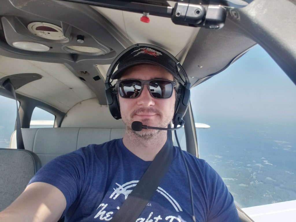
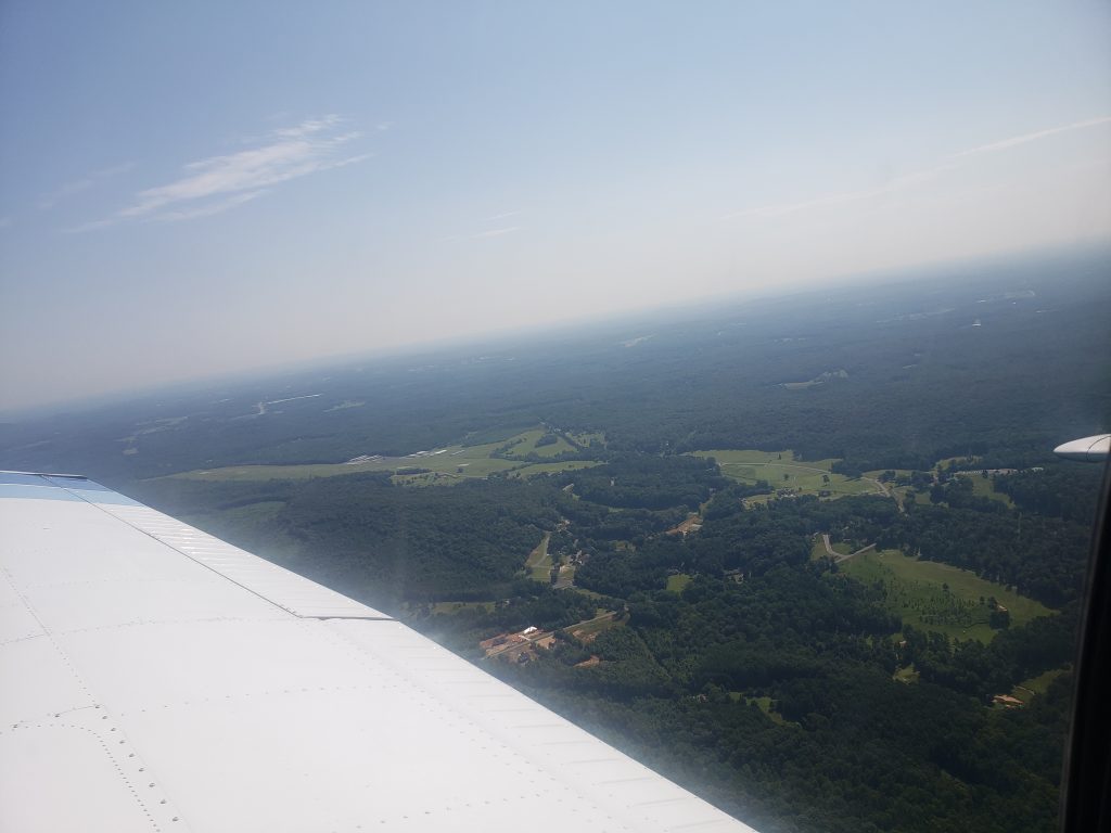
August 8, 2021 – Two flights and some nice weather.

The other day there was a call to action on the Wings of Carolina slack. “Is anyone able to help this pilot get one of our planes back?” Seems this newly licensed pilot, (Congrats!) passed his check ride on Friday and the weather was not great so had to leave N69012 at Asheboro. I said I would be glad to help out if the IFR weather cleared by 9am, I could give him a ride over in N8080A.

I booked a 9am-12pm block, and got to the airport at 8:55am. Grabbed the 80A book book and went to the lounge to check weather. Luckily the fog had burned off and the skies were clear! The pilot met me in the lounge, I wrapped up the weather briefing (nothing of note) and we went out to preflight. The left red nav light was out, but that’s only required at night, confirmed by asking the other pilot. The fuel truck came and filled us up to the tabs (34 gallons) and we were off.

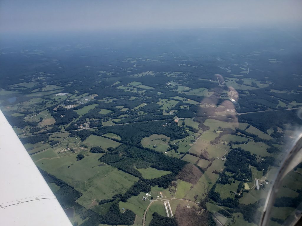
My flight plans were from KTTA -> KHBI (drop off pilot) -> KEXX then back to KTTA. Just under a 2 hour round trip, which took a bit longer because when we got to the hold short line for RWY03, I realized my iPad wasn’t connected to the GPS, so we fiddled with it for a few (no one was behind us, but oof Hobbs running) and couldn’t get it working. That’s fine, we had our GPS and the pilot knew what KHBI looked like form the air. We took off, departed the pattern to the north, got to a little bit higher then turned west.

The pilot was super helpful, having a copilot be able to put in the radios for Siler City as we passed, and the AWOS/CTAFs in for KHBI was actually a really big load off my plate. It’s the little things! Flew at about 3000ft over to KHBI because It was only a 20 minute flight so I stayed low. We get to the airport and he lets me know that RWY24 has a papi, so we chose that runway to land on. Land pretty okay, didn’t grease it, but it is what it is. Taxi over and get him to his plane. I shut down so he can get out safely, then realize after he got out, I CAN’T OPEN THE DOOR. I had to yell him over to make sure I could open the door again, the bottom latch was stuck! I recorded a video, then instagrammed a fellow pilot who is famous in his circles for getting stuck in his plane and having to call someone down in the area who landed and helped him out. Told him he’s not alone, hah.

Anyway, I was able to open the door so I felt like it was okay if I crashed and had to open the door myself. I turn the plane back on, plug in my Stratux for ADSB on iPad, and get ready to take off. I taxi over to the runway (took 24 again out) and hold short for a taildragger and another plane to land. I then take off and woahh there were like 80 birds at the end of the runway at like 300ft up. Luckily I was able to scare them and flew above them, then departed to the right (west) and headed to KEXX. Luckily thr CTAF is the same for both (122.8) so I was able to hear the traffic without fiddling with the radio. I set the AWOS beforehand, so I checked that when I was close, and still winds calm, not bad.

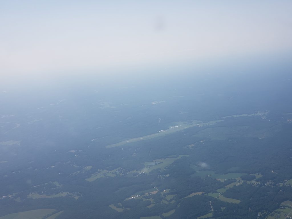
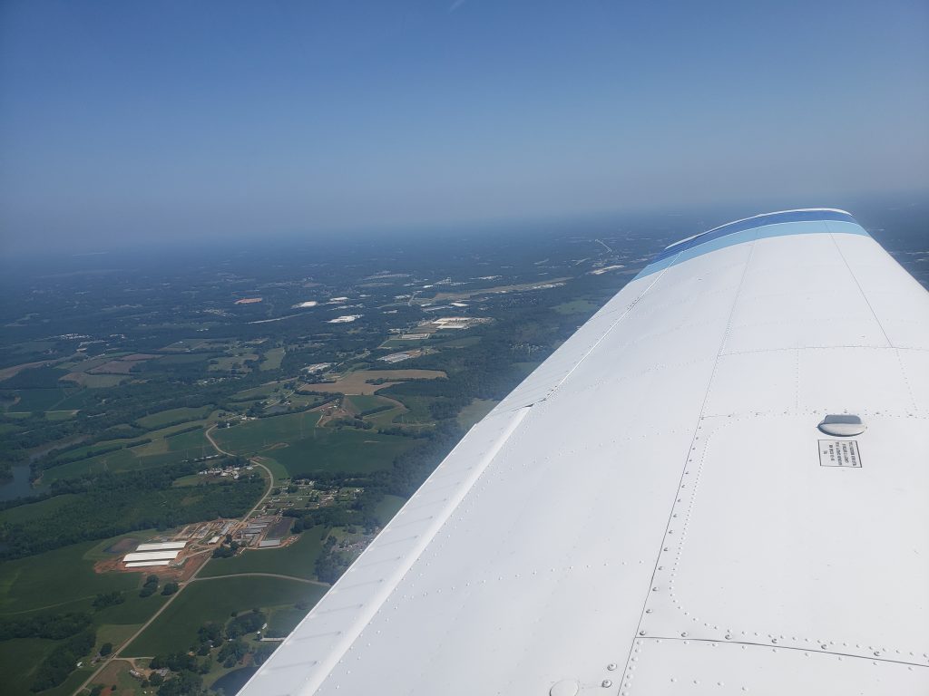
Got 10 miles, out, announced position, 5 miles out, announced I was entering the downwind at a 45. I was on the down when a pilot to my right asked if I was on base, kind of weirded out because I wasn’t so I was vigilant and said I was on downwind (again…). Then called base, and final and landed. Final was neat at Davidson county, had to fly over a factory, which was kind of cool.

Landed, taxied back to the runway and lined up and waited again. The taildragger had followed me! Saw him land as I was at the hold short line. Waited for a jet to land and then off I went! I climbed out, departed to the east, and climbed up to 5500msl. Held 5500 very well this trip, the air was super calm and I’m getting better at electric trim, much easier than just wheel trim.

At one point I turn the auto pilot on, with it set to 109° and 5500msl, but for some reason it made me descend and banked me left 45° and I wasn’t liking that so I disengaged it. I climbed up back to 5500′ for the rest of my trip. By the time I was back to KTTA, the winds still favored RWY03, so I joined the pattern on a 45° entry, and landed smoothly. At around 3000msl descending near Ashbury it was a bit bumpy, but that’s the only turbulence I experienced. Such a nice morning.

Well I get back to the airport and land and shut down… I’m stuck again! Door won’t open. There was no one around I could yell to, so I called the front desk, no answer. I tried again, using different pressures and trying to see if there was like a little latch that didn’t hook. I fiddled for a few minutes and was able to get out, I guess I got it just right.

I then cover the plane, and squawk the door not opening, and posted the video on slack. The next pilot replied to my slack post later that evening that he had no problems. Maybe I’m just door cursed.

Lauren and I then went to lunch before my next flight where I was taking her up in a Cessna 152 (N89333). Well we do the preflight dance, go taxi and take off. At like 300′ above the runway, the damn pilot side door opens up! It’s fine but I don’t want to worry my wife, on her second flight with me ever, so I have her hold the door closed while I go finish the pattern loop (I was doing that anyway). Well MORE fun happened the pilots PTT(push to talk) button got stuck off, so I had to use her microphone to talk, (I could have just switched the plugs, but we were in the base turn). I kind of overshot base so had to over correct a little bit, but we landed okay, taxied back and agreed we were discontinuing our flight. We could have gone back up and carried on – we had the allotted time – but you know what? The rest of the flight wasn’t in the cards.

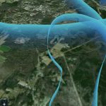
Total distance: 112.65 mi
Max elevation: 5883 ft
Min elevation: 205 ft

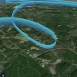
Total distance: 13.51 mi
Max elevation: 1165 ft
Min elevation: 195 ft

August 1, 2021 – Cessna 152 Checkout

Today I got checked out in a Cessna 152. It was really my first time (besides spin training) flying high wing planes and I was a little nervous. We had a pretty standard pre-flight check, took a lot longer than just a “I’m out here to go on a flight”, again because Luke was explaining things to me. There’s a lot of differences like with the warrior, all the flaps are on hinges, but in the Cessna, there’s one pulley hinge and some rollers you need to check, not just actuation hinges. Pointed out how the landing gear is different, there’s plastic fairings that we need to repair quite frequently, and there are no dampeners.

After the pre-flight we took off, Vr is pretty low, at 50 so the plane just wanted to float almost immediately in my opinion. It was also a cooler day outside than my most recent few flights, so that helped too. We took off, headed north to the practice area. I get up to 3000′ msl and we level off, trim for cruise flight and lean the engine. This plane also has a vernier mixture control, so it’s nice to be able to dial in the mixture, even if there’s no on screen display of the gallons per hour like the M20J. There were some clouds at 4000′ I think, but they were tiny, and we figured we didn’t need to go above them, so we stuck at the 3000′ level.

This is where Luke says to just take the plane and do tiny things with it, like turn it uncoordinated, see how much rudder I’d need to do a turn. So I did that for a bit, did a standard rate turn to the left, and we switched to some 30° turns, leveled off then did two 45° turns, back to back. I hit my prop wash at the end of the second one, that always feels great. The first few turns were gross, this plane has old cables for the ailerons, so there’s a lot of play when turning, so it took a few tries to be able to maintain altitude and find that comfortable dead spot with cable tension. The last plane (M20J) I flew, everything was much stiffer for turning.

After the few turns, he said “oh no, there goes your engine” and throttled to idle. I looked around for a place to land, and didn’t see one immediately. One thing I could have done better is look out the back window, because the 152 actually has one! Well I found a spot to “crash land” so I brought the plane to Vglide (60) and slowly descended towards the place to land. I guess in my “everything is okay” did the A B part of the emergency checklist, but I didn’t do ABCDE, so we did it again. This time I:

  • A- pitched for best airspeed (60kts)
  • B- found the best place to land
  • C- Checklist, pretended to check fuel, master, key, primer, etc.
  • D- pretended to switch to 121.5mHz and declare an emergency
  • E- executed the landing, and prepared to exit (opened the door, turn off mixture, etc so the plane doesn’t blow up and I can get out)

and found a cute little field to land in. That was successful so we headed back towards the airport.

At the airport everything was standard traffic pattern. There were three of us in the pattern, one tail dragger that was always just behind us, really friendly guy who liked chatting on frequency, and one low wing – maybe a warrior? – I can’t remember. Well I did six landings. One normal landing, three short field (the last one I did great, landed on numbers and was done before A2 taxiway entrance) and then a few more normal.
Luke said that I was death gripping the yoke, so he did one lap around the airport – where he trimmed and only used his two fingers lightly to move the yoke. Watching him do that, I copied and did a lap around the pattern the same, much easier this time.

We then landed, taxied back and went to park. Parking is WILD, you sit on the tail and then back then walk backwards to get the plane in place. I guess when your plane’s max ramp weight is 1675lbs, that’s easy to do! Three times as much as my motorcycle… After we chatted, he said he feels safe with me flying it, and I agreed. “I feel safe, but not super comfortable, but that only comes with time so I feel safe to take it up and get more comfortable”.

I then had to fill out the quiz, and scanned it, then emailed it to him.

Total distance: 126.39 mi
Max elevation: 3709 ft
Min elevation: 228 ft