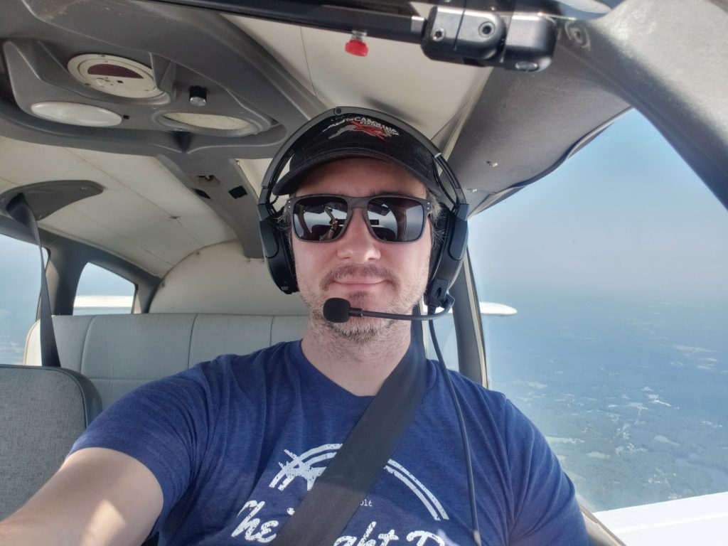
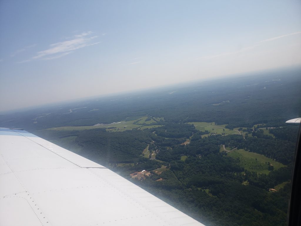
August 8, 2021 – Two flights and some nice weather.

The other day there was a call to action on the Wings of Carolina slack. “Is anyone able to help this pilot get one of our planes back?” Seems this newly licensed pilot, (Congrats!) passed his check ride on Friday and the weather was not great so had to leave N69012 at Asheboro. I said I would be glad to help out if the IFR weather cleared by 9am, I could give him a ride over in N8080A.

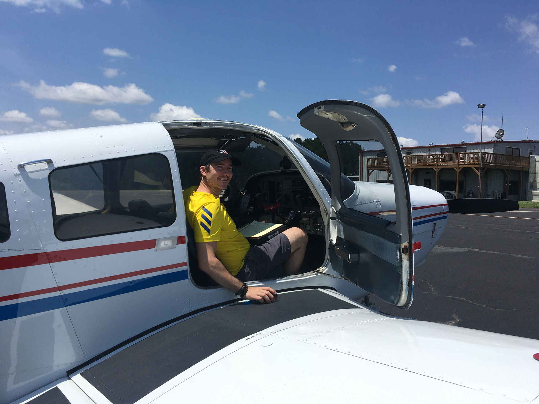
I booked a 9am-12pm block, and got to the airport at 8:55am. Grabbed the 80A book book and went to the lounge to check weather. Luckily the fog had burned off and the skies were clear! The pilot met me in the lounge, I wrapped up the weather briefing (nothing of note) and we went out to preflight. The left red nav light was out, but that’s only required at night, confirmed by asking the other pilot. The fuel truck came and filled us up to the tabs (34 gallons) and we were off.

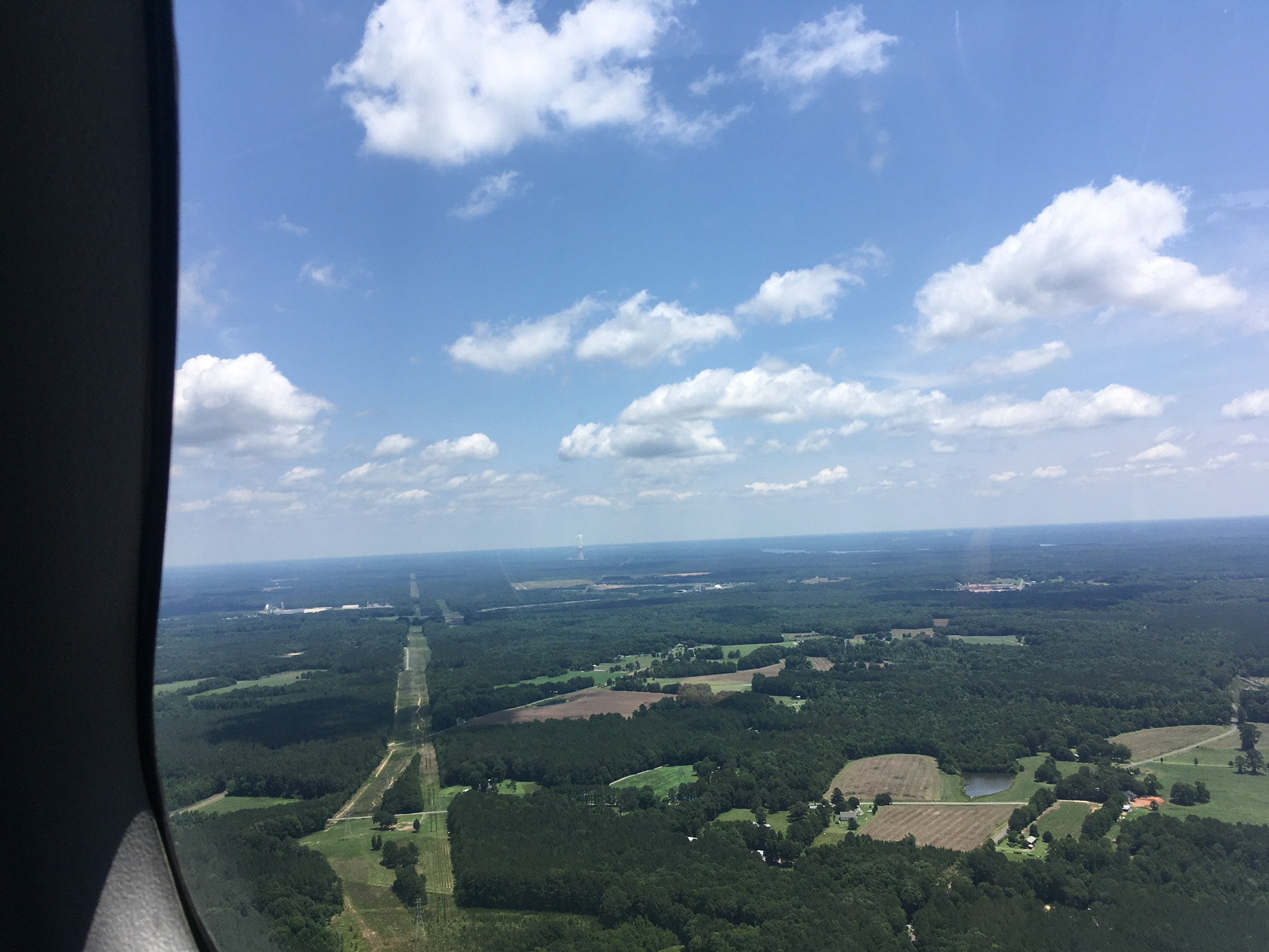
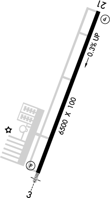
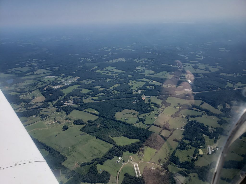
My flight plans were from KTTA -> KHBI (drop off pilot) -> KEXX then back to KTTA. Just under a 2 hour round trip, which took a bit longer because when we got to the hold short line for RWY03, I realized my iPad wasn’t connected to the GPS, so we fiddled with it for a few (no one was behind us, but oof Hobbs running) and couldn’t get it working. That’s fine, we had our GPS and the pilot knew what KHBI looked like form the air. We took off, departed the pattern to the north, got to a little bit higher then turned west.

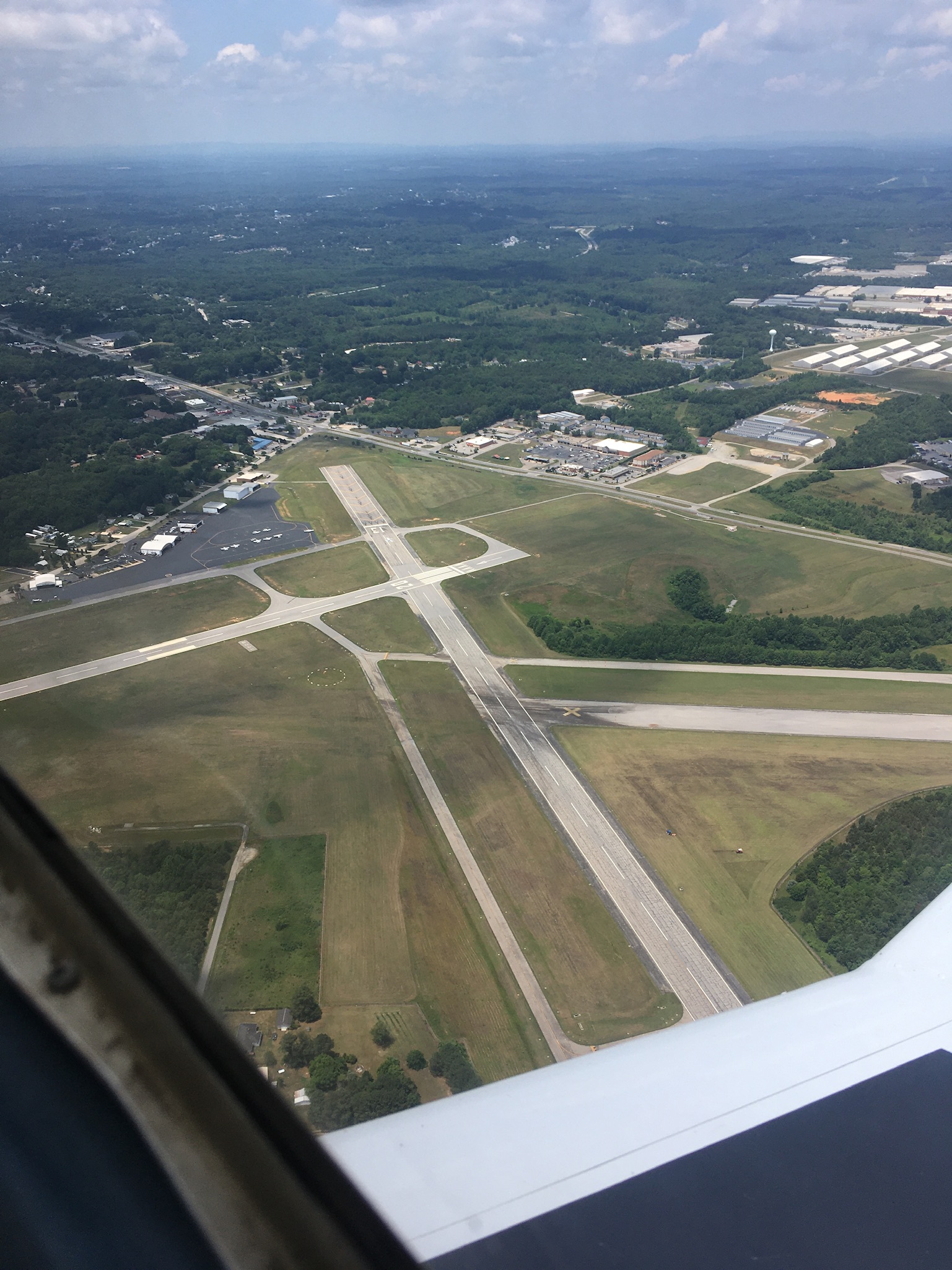
The pilot was super helpful, having a copilot be able to put in the radios for Siler City as we passed, and the AWOS/CTAFs in for KHBI was actually a really big load off my plate. It’s the little things! Flew at about 3000ft over to KHBI because It was only a 20 minute flight so I stayed low. We get to the airport and he lets me know that RWY24 has a papi, so we chose that runway to land on. Land pretty okay, didn’t grease it, but it is what it is. Taxi over and get him to his plane. I shut down so he can get out safely, then realize after he got out, I CAN’T OPEN THE DOOR. I had to yell him over to make sure I could open the door again, the bottom latch was stuck! I recorded a video, then instagrammed a fellow pilot who is famous in his circles for getting stuck in his plane and having to call someone down in the area who landed and helped him out. Told him he’s not alone, hah.

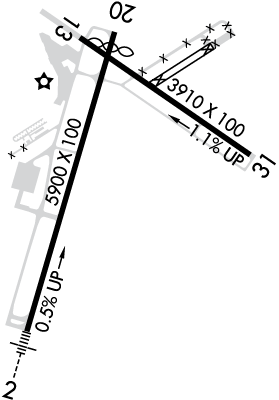
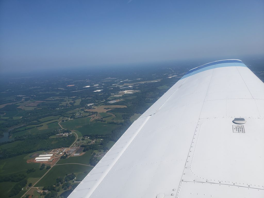
Anyway, I was able to open the door so I felt like it was okay if I crashed and had to open the door myself. I turn the plane back on, plug in my Stratux for ADSB on iPad, and get ready to take off. I taxi over to the runway (took 24 again out) and hold short for a taildragger and another plane to land. I then take off and woahh there were like 80 birds at the end of the runway at like 300ft up. Luckily I was able to scare them and flew above them, then departed to the right (west) and headed to KEXX. Luckily thr CTAF is the same for both (122.8) so I was able to hear the traffic without fiddling with the radio. I set the AWOS beforehand, so I checked that when I was close, and still winds calm, not bad.

Got 10 miles, out, announced position, 5 miles out, announced I was entering the downwind at a 45. I was on the down when a pilot to my right asked if I was on base, kind of weirded out because I wasn’t so I was vigilant and said I was on downwind (again…). Then called base, and final and landed. Final was neat at Davidson county, had to fly over a factory, which was kind of cool.

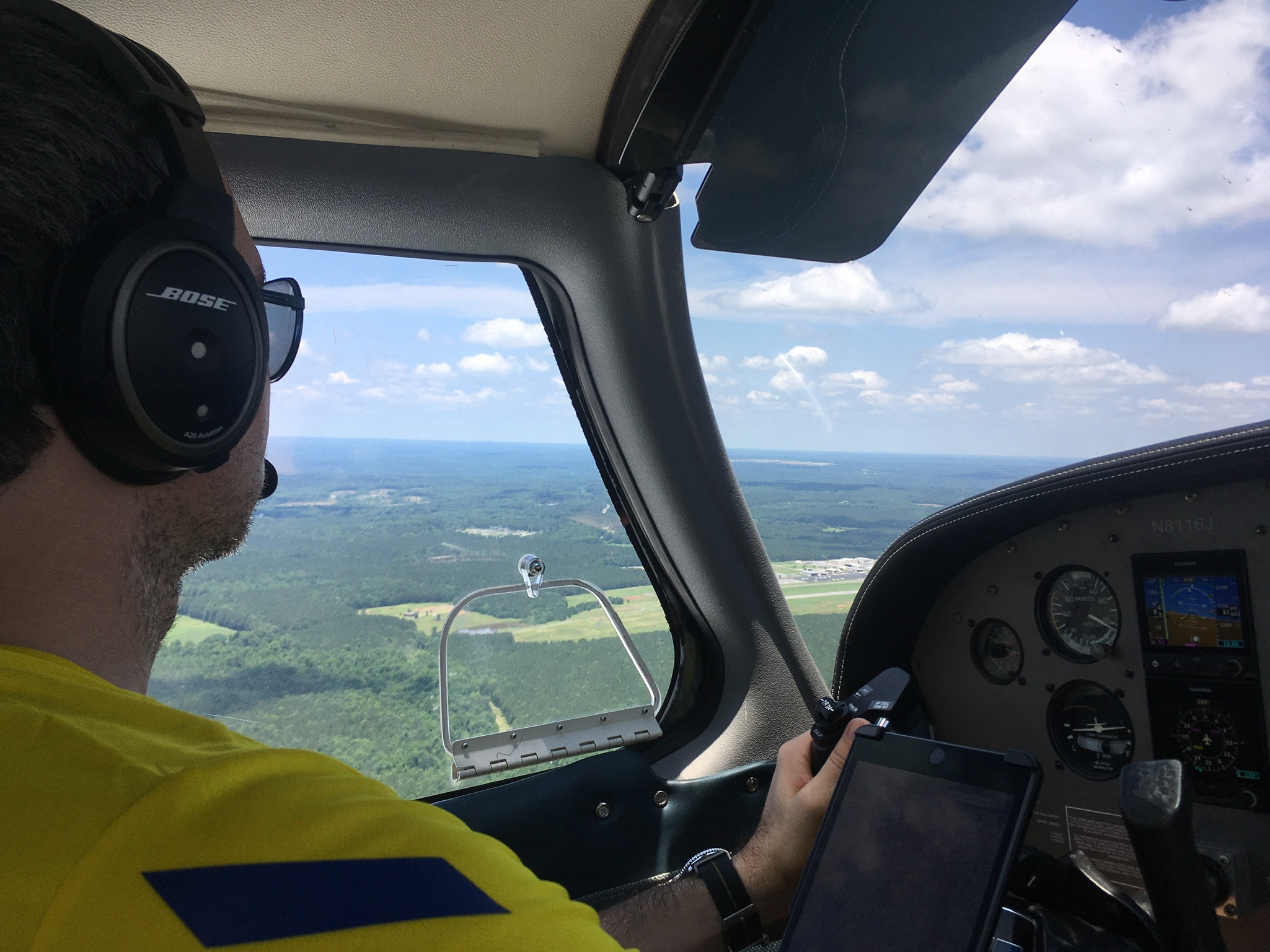
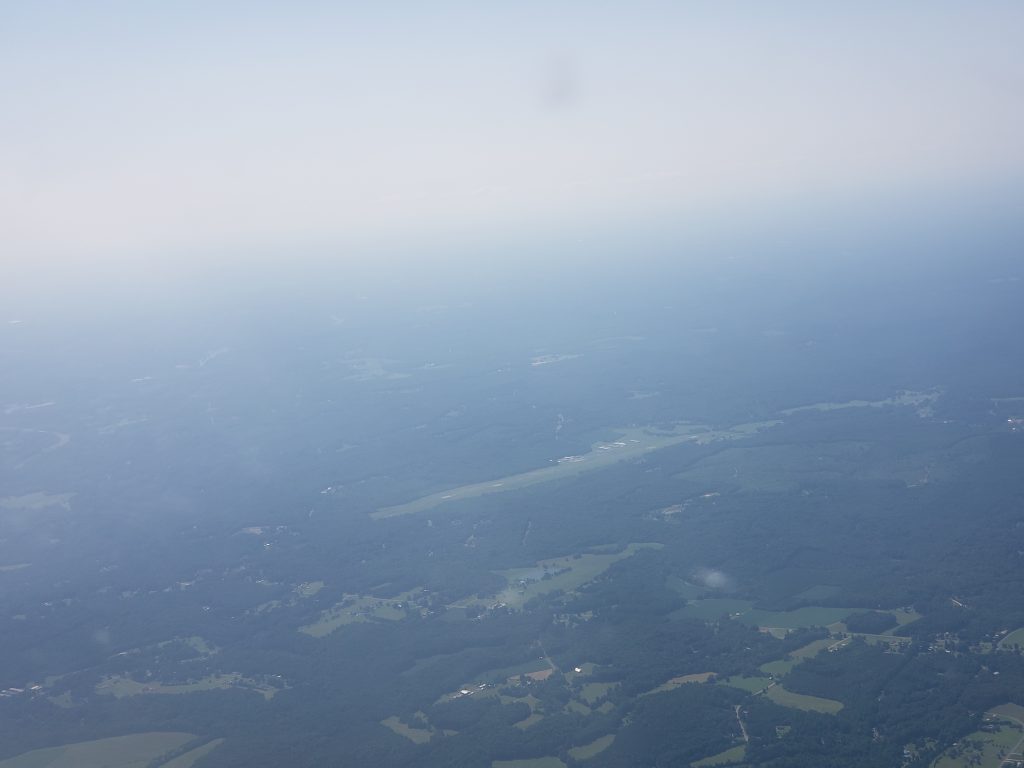
Landed, taxied back to the runway and lined up and waited again. The taildragger had followed me! Saw him land as I was at the hold short line. Waited for a jet to land and then off I went! I climbed out, departed to the east, and climbed up to 5500msl. Held 5500 very well this trip, the air was super calm and I’m getting better at electric trim, much easier than just wheel trim.

At one point I turn the auto pilot on, with it set to 109° and 5500msl, but for some reason it made me descend and banked me left 45° and I wasn’t liking that so I disengaged it. I climbed up back to 5500′ for the rest of my trip. By the time I was back to KTTA, the winds still favored RWY03, so I joined the pattern on a 45° entry, and landed smoothly. At around 3000msl descending near Ashbury it was a bit bumpy, but that’s the only turbulence I experienced. Such a nice morning.

Well I get back to the airport and land and shut down… I’m stuck again! Door won’t open. There was no one around I could yell to, so I called the front desk, no answer. I tried again, using different pressures and trying to see if there was like a little latch that didn’t hook. I fiddled for a few minutes and was able to get out, I guess I got it just right.

I then cover the plane, and squawk the door not opening, and posted the video on slack. The next pilot replied to my slack post later that evening that he had no problems. Maybe I’m just door cursed.

Lauren and I then went to lunch before my next flight where I was taking her up in a Cessna 152 (N89333). Well we do the preflight dance, go taxi and take off. At like 300′ above the runway, the damn pilot side door opens up! It’s fine but I don’t want to worry my wife, on her second flight with me ever, so I have her hold the door closed while I go finish the pattern loop (I was doing that anyway). Well MORE fun happened the pilots PTT(push to talk) button got stuck off, so I had to use her microphone to talk, (I could have just switched the plugs, but we were in the base turn). I kind of overshot base so had to over correct a little bit, but we landed okay, taxied back and agreed we were discontinuing our flight. We could have gone back up and carried on – we had the allotted time – but you know what? The rest of the flight wasn’t in the cards.

Total distance: 112.65 mi
Max elevation: 5883 ft
Min elevation: 205 ft

Total distance: 13.51 mi
Max elevation: 1165 ft
Min elevation: 195 ft

June 14, 2021 – First flight with Lauren

Today was my first flight with my wife, Lauren. She is my first real passenger (“technically your DPE is, blah blah”). I didn’t know what to expect, I knew she had been up in planes before – she’s gone skydiving, something I will probably never do. I’d rather be the person to fly the “JUMPERS AWAY OVER X” than be a jumper. I don’t want to make this entire blog about Lauren, although we all know I could. So I will try to keep it 50% airplane talk!

We scheduled a 12pm flight, with an estimate of me probably taking off at 12:30 (took off at 12:40 for pattern and 12:49 to KDAN), Cross country from KTTA to KDAN and back to KTTA. I wanted to fly at 4500’msl there, and 5500’msl back, following the East is Odd +500 and West is Even +500, because it was a 358°ish flight there and a 178°ish back (that’s from airport center to airport center, but I did some cloud avoidance, a few times (like, the whole time) so I was pretty off course, but ForeFlight will get me there. I brought my Stratux because I remembered that N8116J didn’t like bluetooth and ADSB so my iPad wouldn’t connect to the plane. I also bought a new GPYes unit that I wanted to try out, and it worked great, no more magnetic GPS sticking to random magnetic things, everything is self contained in my Stratux!

Wind was good for RWY21, so I had to taxi via Taxiway Alfa to get there, still not a fan of how Wings of Carolina has us do a runup off the taxiway, something I need to get used to at a busier airport than KEEN. Well, we took off and I did a loop of the pattern – I wanted to gauge Lauren’s stomach, and my flying abilities to make sure she was okay to fly. The Pressure Density was 2,800′-2,900, which for a 255’msl runway, oooof. After the second takeoff we flew out to the traffic pattern then departed to the north! We climbed up to 3000, the cloud layer was about 3800 so I chose to stay under it, vs fly over the top and chance not having an opening. It was pretty bumpy – there’s a convective SIGMET over like the whole east coast – so I knew it was going to be a little bumpy. Lauren was taking pictures the whole time (she took 47! I’ll share some) and got some fun ones of me. In my pictures I look like I’m super concentration face, but she got a couple of me smiling.

Nearing KDAN I realized that the CTAF was Actually a CTAF (Common Traffic Advisory Frequency) and that KDAN had a tiny little tower. I called 15 to the south (because I heard a lot of traffic) and the nice person on the frequency came in and said something like 16J there’s two planes on the taxiway, one in the pattern and one just departing, which now I understand why people come on our Unicom back at KEEN and keep saying “KEEN Unicom please advise”. Well we got closer I said I was flying over midfield to make a tear drop into the downwind. I did as such, flew over at 2500′, did the tear drop, down to 1500′ and landed. We then taxied to the FBO and shut down [my outside camera picked THREE seconds after I shut down to die, perfect timing]. The nice ramp assistant gave us a ride to the FBO in the golf cart so we could pee.

Gatorade passed through our system completely we headed out to the plane. We got some weird looks from the people chilling in the FBO (Enterprise people, and like a grandfather? idk) for wearing masks. Yes we’re both vaccinated, but I sure as hell don’t know if the random people I run into are, gotta keep you safe!

We took a few pictures, and then went and started up the plane. When I was doing my run up, I didn’t have the mixture full rich, was still leaned for ground ops, so when I did the mag drop I heard a backfire, was like OH SHIT and realized I was leaned. Put in full mixture, and did the mag drops again, ~150rpm loss and we were good to go. Lesson learned here is even if there are shortcuts for when the engine is hot, and you just land for 10 minutes, probably good to go through the full checklist even just skimming it.

We took down taxiway Alfa again and got to RWY02. Side note, KEEN has 02-20 and 14-32, this airport KDAN has 02-20 and 13-31 so when I came upon it, I was like “holycrap I feel like I’m home”. Anyway – when we got to the end of the taxiway there were two entrances only like 100ft apart to the runway, it was weird. We had to wait like 10 minutes to take off, because there were 4 planes doing touch and goes and they were perfectly spaced to give me like NO time to take off. I know how long of a runway I need to be safe, but with a 2900′ Density Altitude, I know I needed a longer ground roll, so finding time to slip in to where I knew I could take off was annoying. Finally one of the guys on downwind said “Plane waiting at 02, I’m extending my downwind a little bit to give you some time to take off, so I rolled out, thanked him and took off to the north a bit. I extended my upwind and gave the pattern a large buffer, then took off to the south.

Lauren seemed to be getting tired by like 75% of the trip back so maybe next time I’ll take the plane for four hours, and then we can take a full hour between legs, instead of 15 minutes. I did three hours, because I planned for a longer break between – we even bought zucchini bread I made last night! – but I threw in that extra pattern lap before we left the airport, so that added like 15 minutes, and I couldn’t find the flight book so that took some extra time.

When we were on the way back to Raleigh Exec, we saw another plane like 500′ below us so I flew above them and circled past them then tried to come in behind them but I have no idea where they went when I flew over them, my ADSB decided to not pick them up, so I did a larger right turn so I knew I’d avoid them. It was weird and I’ll have to check FlightRadar24 playback to see – but it’s not up now for some reason. After that steep turn I entered the downwind and landed. We landed with 2 minutes to spare, but it took a few minutes to shut down, and tie down. Glad someone wasn’t right after us (if someone was I would not have gone as far of course). Covered the plane, paid the $260 for 2.3 hours of flying, put the book away and headed home.

The return trip took about exactly the same length. We left KTTA at 12:49, landed at KDAN at 1:36 (49min). Then with waiting for takeoff, we left KDAN at 2:07 and landed at 2:57(50min). On the flight back, it was a bit bumpier, the clouds were still scattered at about 3800 but some were darker than others so I flew around them. I wonder if when I finally fly IFR if I’ll fly a lot straighter, instead of just “oops avoid that cloud!” that remains to be seen.

Some attachments today are the airport charts for KTTA and KDAN, as well as a fun youtube video of the first leg to KDAN. Two GPS recordings (ADSB FINALLY!) and hopefully a small gallery of Lauren and I. (Link to all photos will be at end as well)

Total distance: 100.51 mi
Max elevation: 3125 ft
Min elevation: 200 ft

Total distance: 101.44 mi
Max elevation: 3293 ft
Min elevation: 210 ft